OFF-GRID
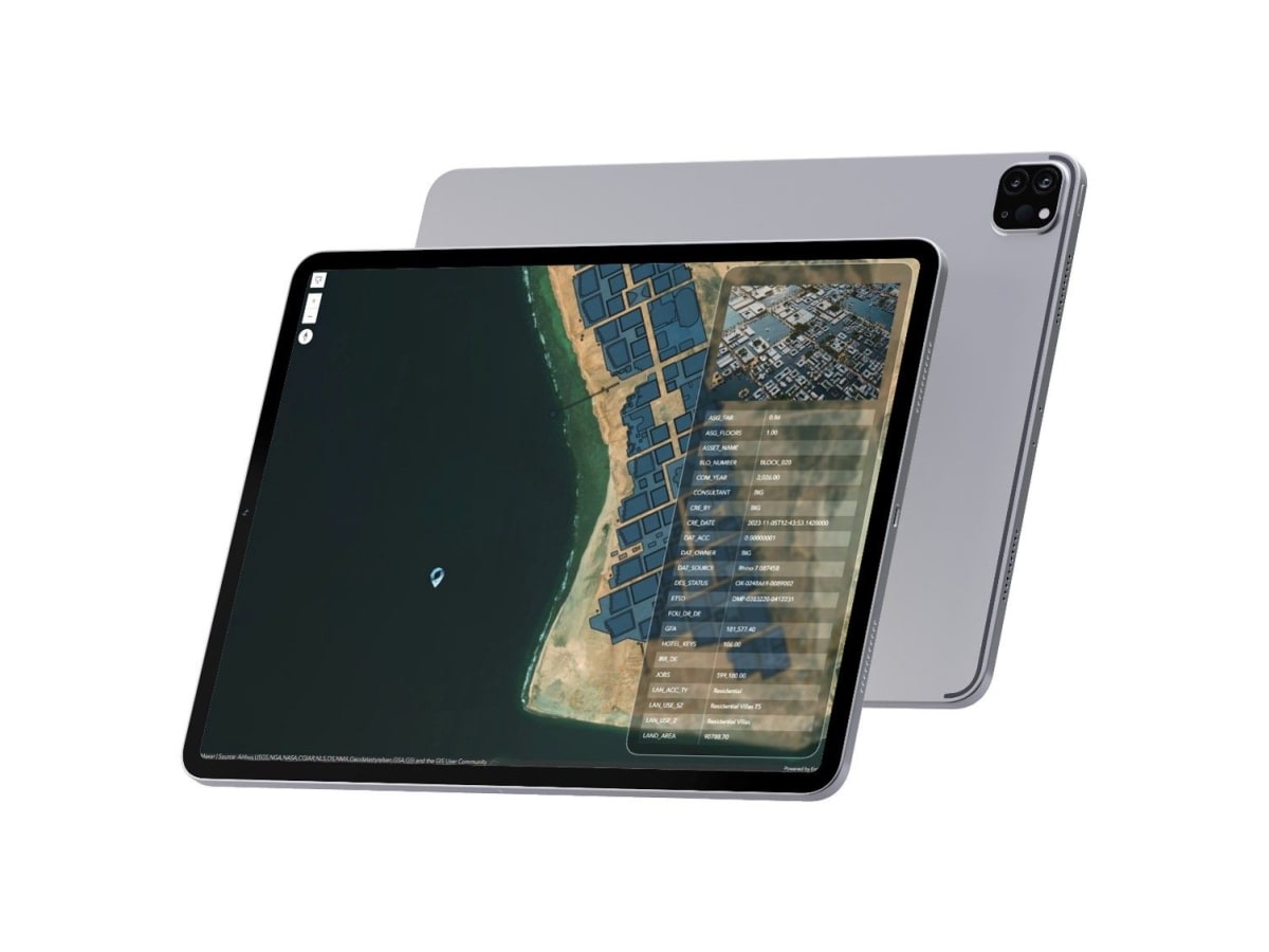
GPS-enabled Offline Masterplan Visualisation With AR. An iOS app for professionals in remote/signal-deprived areas. Supports offline maps (.mmpk files), real-time GPS tracking and detailed POI attribute access, plus AR — Tabletop AR mode or geolocated World AR mode for masterplans and 3D models. Available on the App Store, bridging geospatial data and real-world fieldwork.