Hilltop Masterplan, KSA
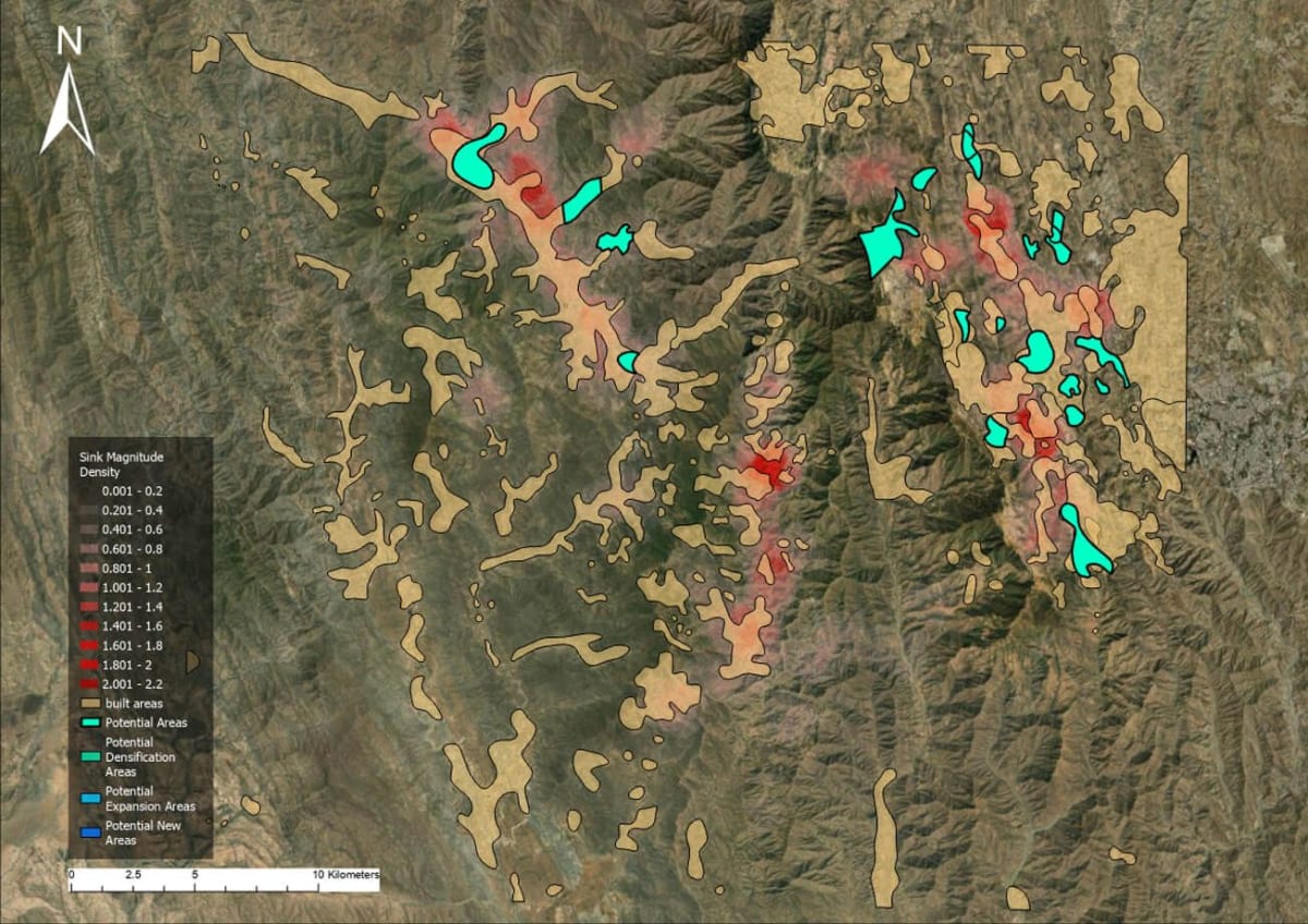
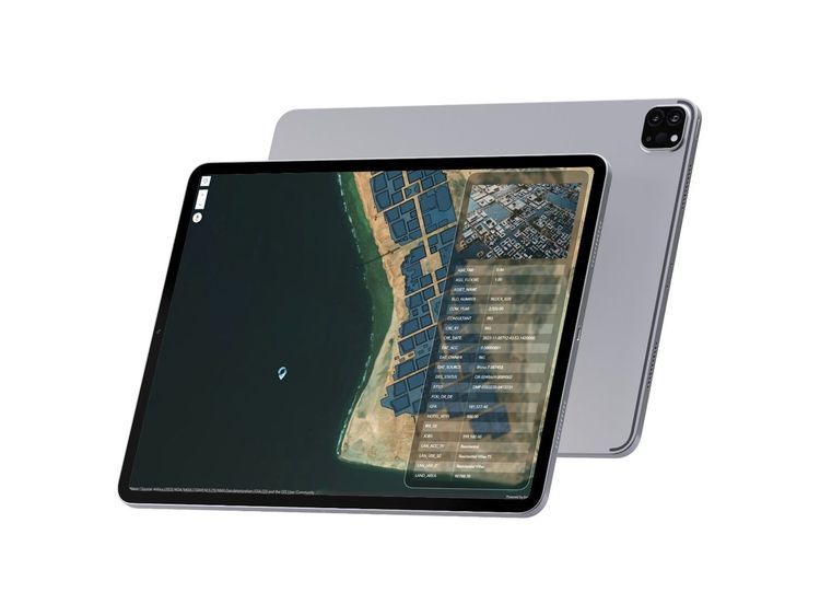
Geospatial Analysis / Gap Analysis. Geospatial study of a mountainous region in the country's highest peaks, assessing development suitability across six in-progress masterplans. Evaluated topography, slope, built areas, rainfall, road networks, connectivity, water bodies, flood susceptibility and Red Sea visibility to identify areas for densification, expansion and new development, using updated spatial datasets and advanced GIS methodologies.
Computational Climate Analysis. Examines regional environmental conditions using open-source weather data: dry bulb temperature, relative humidity, wind speed, cloud cover, wind rose patterns, psychrometric comfort zones and a bioclimatic chart. Findings highlighted environmental opportunities and constraints, integrated with the geospatial framework to support resilient, adaptive masterplans. (Note: a second Hilltop entry — same title, different discipline.)